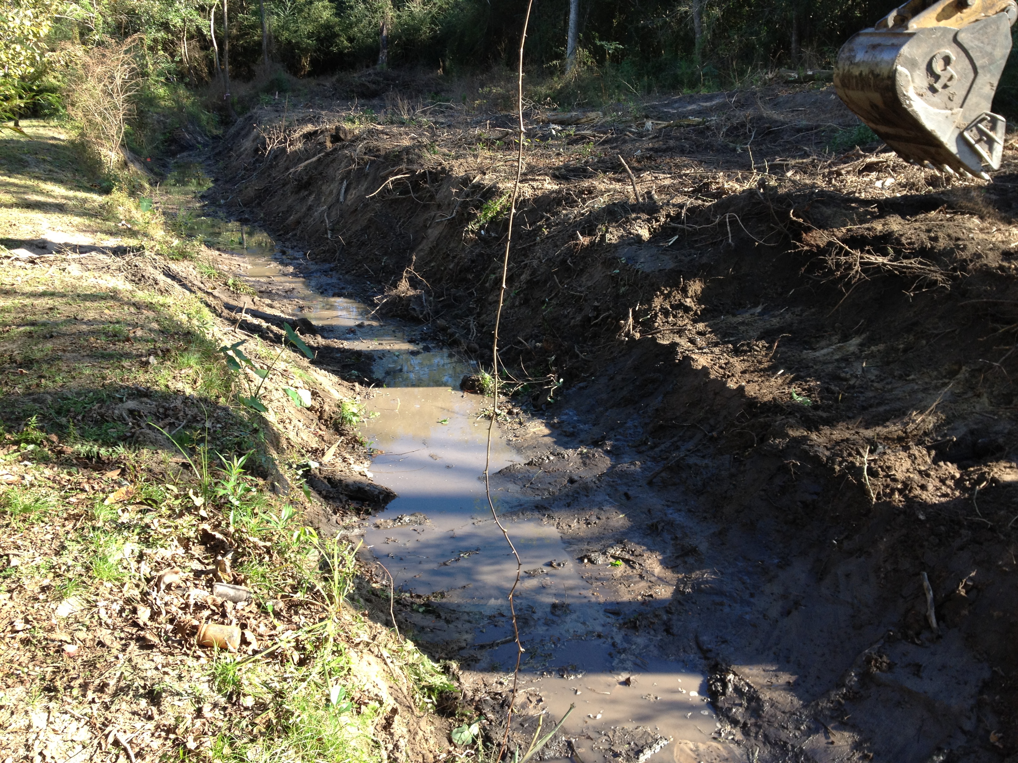
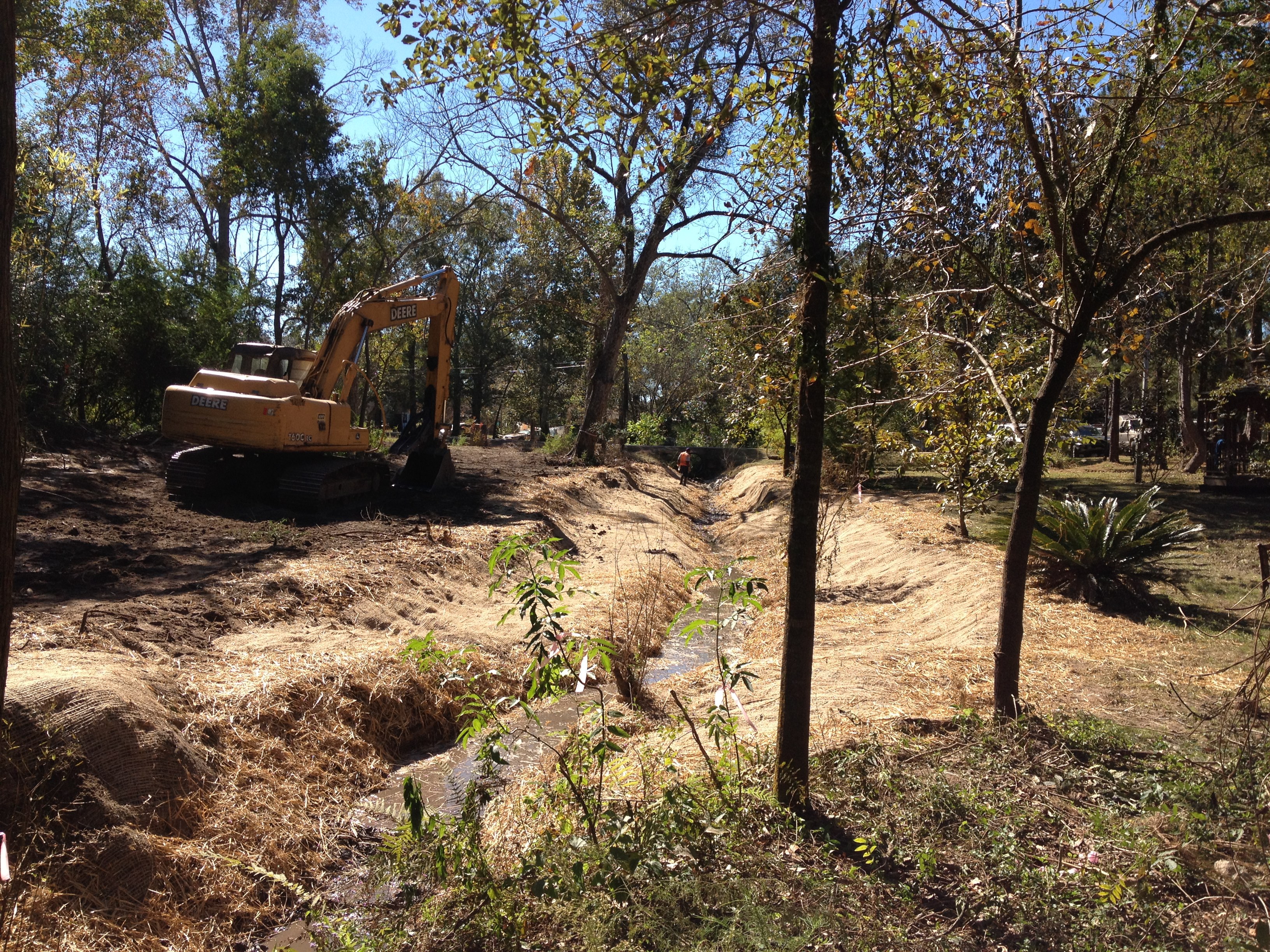
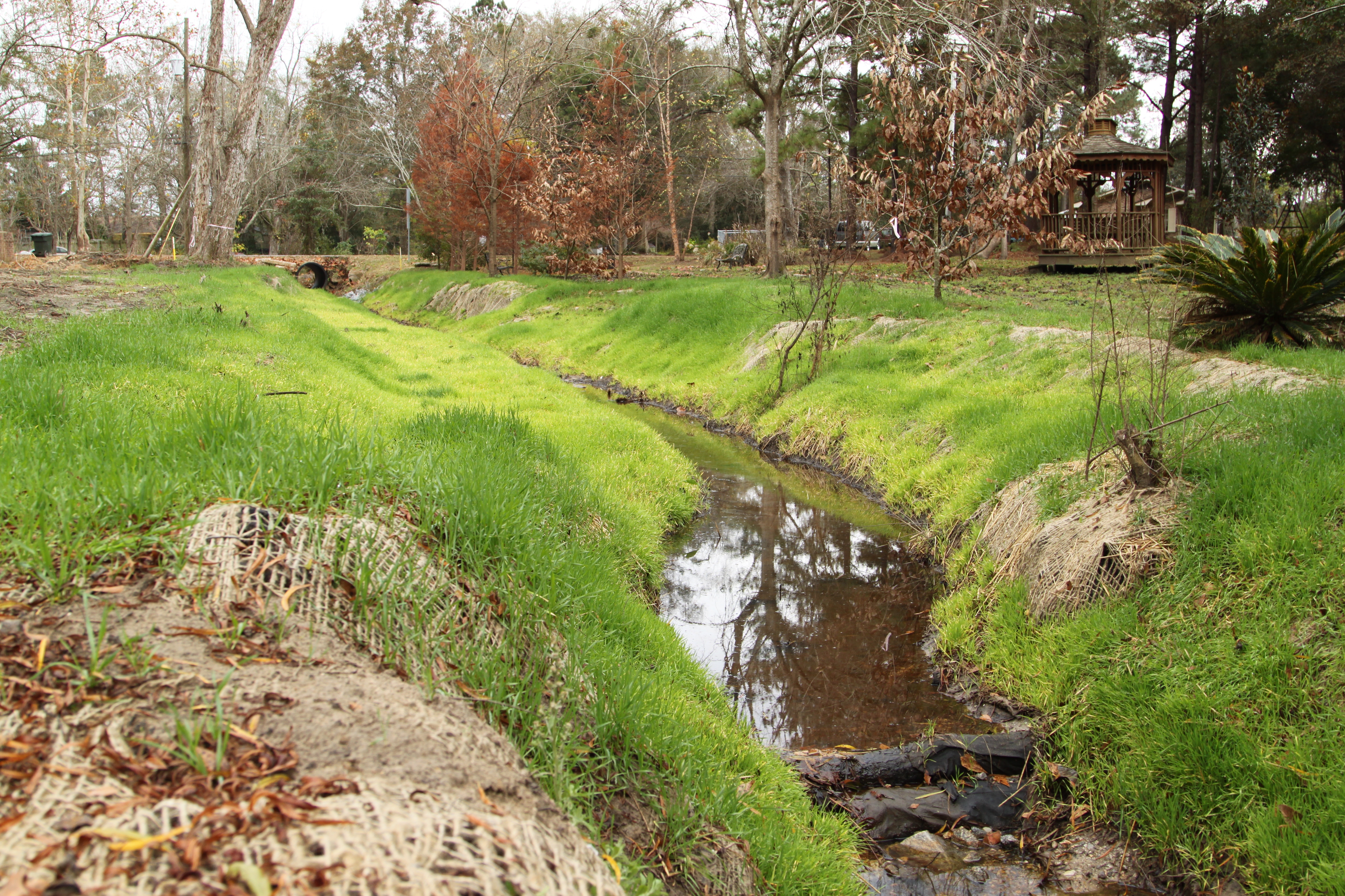
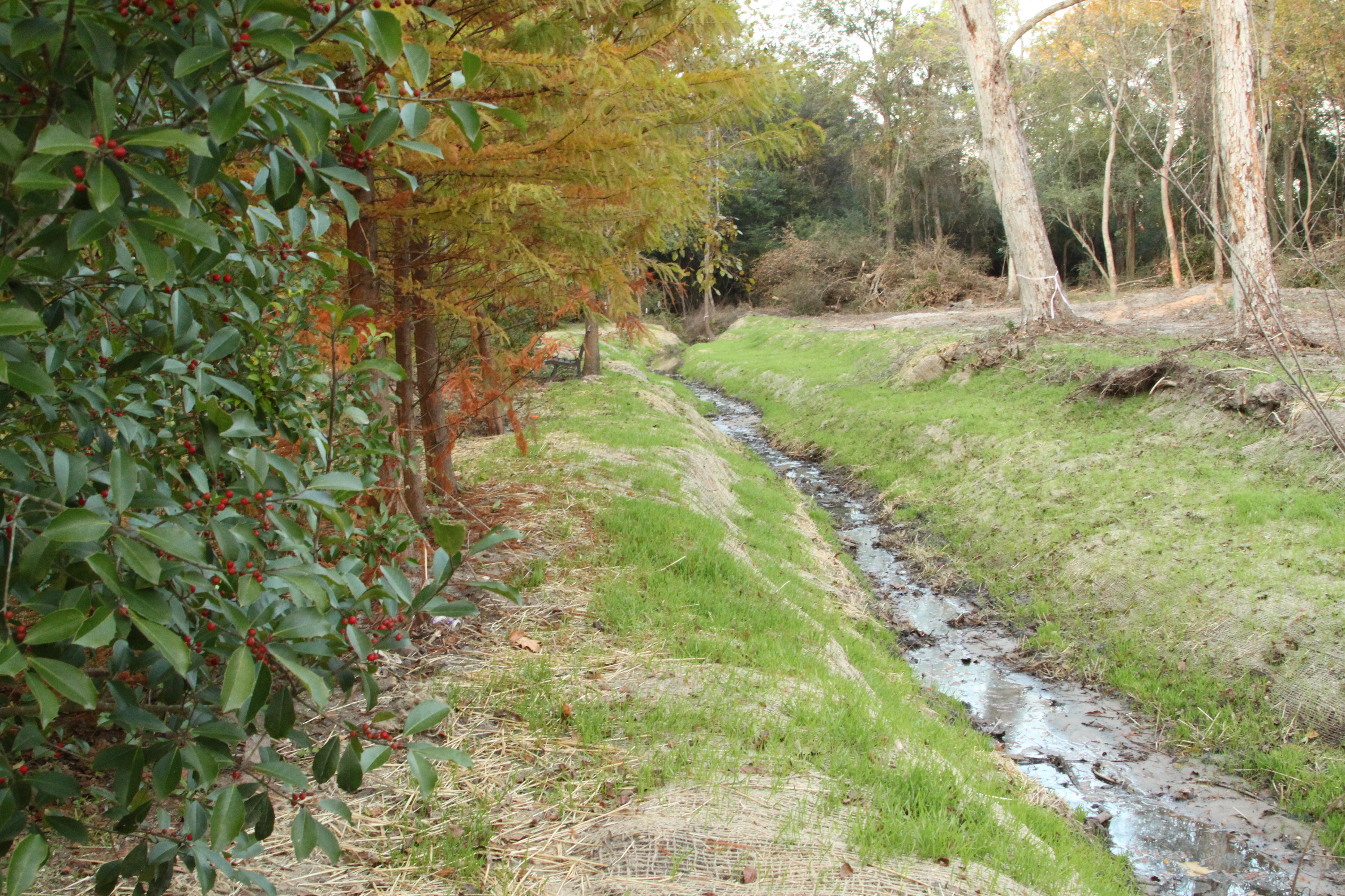
The Restoration
Monitoring and Research Studies
- Eightmile Creek Color Infrared Failing Septic System Identification
- Eightmile Creek/Gum Tree Branch Monitoring Program Summary Report, 2005-06
- Identifying Flood Generating Areas 2013
- 100 Year Return Period Floodplain Map (2011 vs 2022)
- 100 Year Return Period Floodplain Map (2011 vs FEMA)
- Land Use Land Cover Map
- Infrared Aerial Coverage of Eightmile Creek Watershed
- Eightmile Creek Assessment Report with Maps 2008
Publications
- Prichard Reading Park Stream Restoration Final Report
- Prichard Reading Park Preliminary Design
- Graphic Ecological Characterization of Lower Eightmile Creek Watershed